Check out this new modelling service one group is using to bring sea level rise home!
#Drowyourtown
Using google maps and a 'sea level rise image' they produced visual representations of what cities would look like after an increase in sea level. It was a novel outreach programme aimed at making people think about sea level rise, with people able to send in requests to see how their home town would look after a rise in sea level.
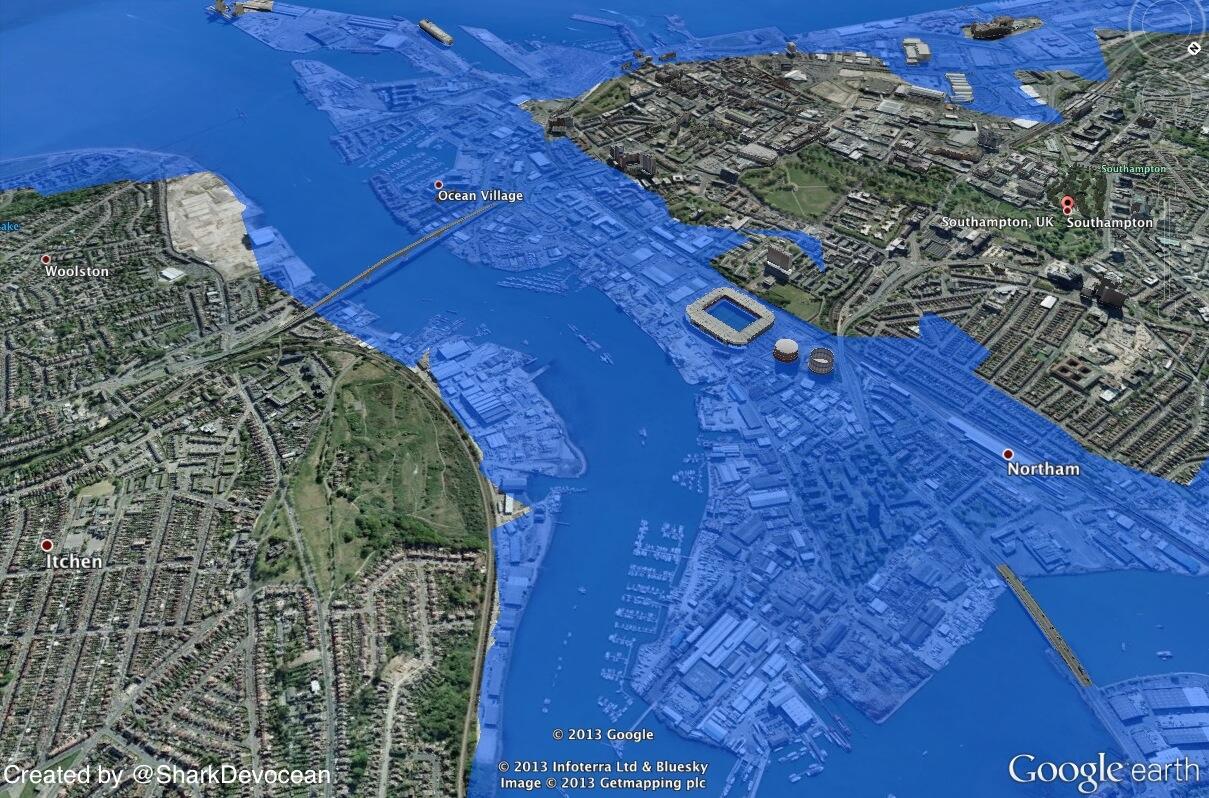 |
| #Drownyourtown Southampton, UK after a 10m rise in sea level Source: Drownyourtown |
So what are you waiting for? Send your requests into @Drownyourtown and search #Drownyourtown and get connected with sea level rise, past maps also available on their blog:
So creative!
ReplyDelete